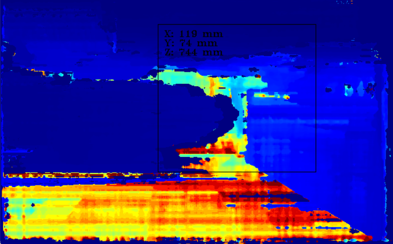
Hi all ,
I am using the SpatialLocationCalculator as shown in the tutorial. I modified the size of the Roi to make it bigger. The resulting image shows different levels of depth values. How is the coordinate of z axis calculated in this case ? does it compute an average of the entire area or it takes the minimal/maximal depth value ?
can you help me understand how the z coordinate (depth) of the ROI is calculated in this case ?
Thank you in advance
I found the SpatialLocationCalculatorAlgorithm parameter. what are the options for this config and how each option computes the spatial coordinates ?
